Flood Hazard Mapping and Design Flood Elevation
Summary
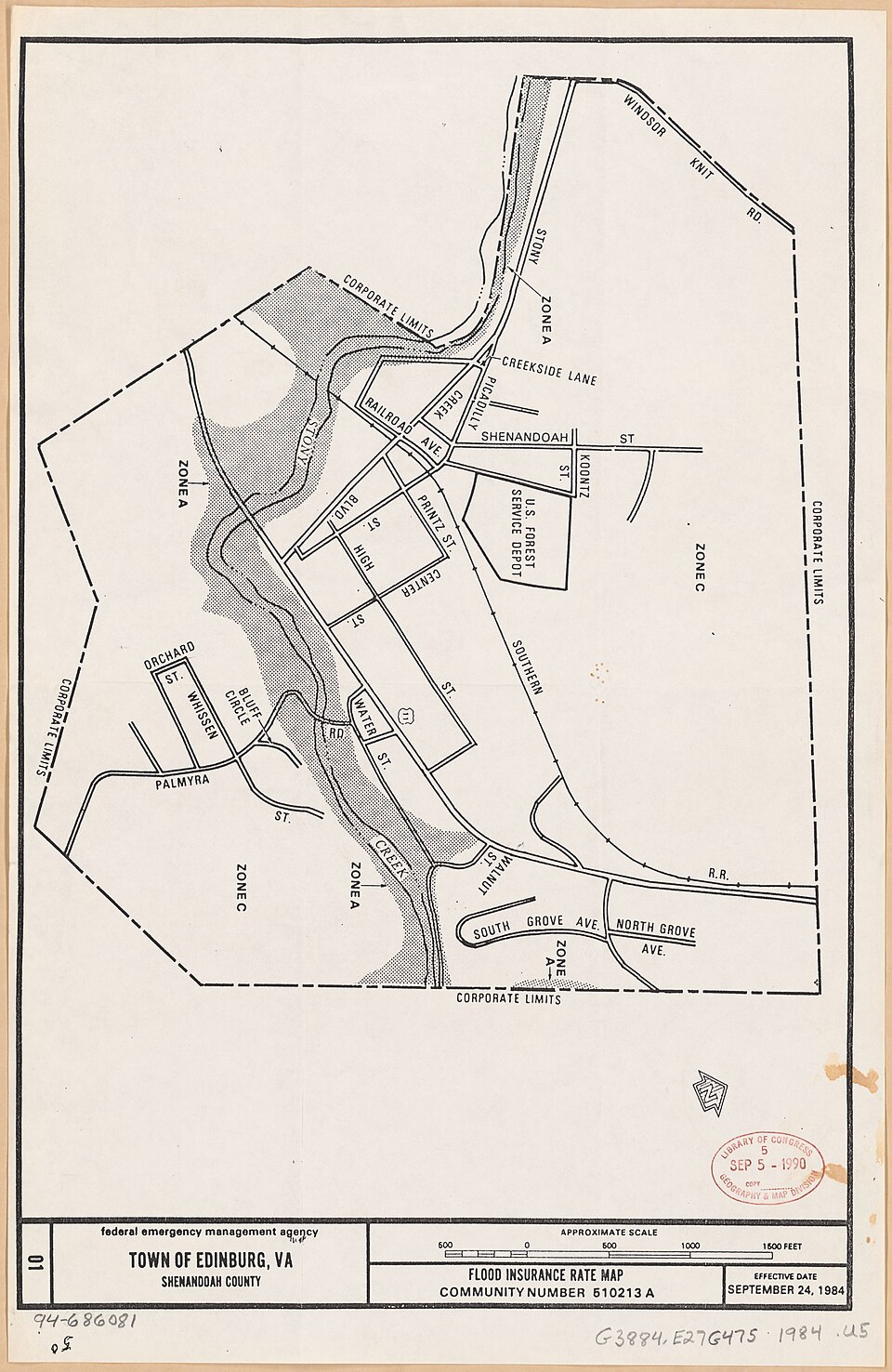
Flood hazard mapping classifies land by flood risk on FEMA Flood Insurance Rate Maps, and base flood elevation is the water-surface height of the 1 percent annual chance flood. The design flood elevation adds freeboard that the local community sets, so the map zone and the local ordinance must both be read for every site.
Cols
Terminology
- SFHA (Special Flood Hazard Area): area with a 1 percent annual chance of flooding, shown on the FIRM
- BFE (base flood elevation): water-surface elevation of the 1 percent annual chance flood
- Freeboard: margin added above BFE; a local requirement, not a FEMA one
- Regulatory flood protection elevation: BFE plus freeboard
Types
- Zone A and variants (A1 to A30, AE, AH, AO, AR, A99): SFHA; Zone AE publishes base flood elevations
- Zone A (unnumbered): FEMA did not run a detailed analysis, so no BFE is published
- Zones V and VE: coastal high-hazard areas with wave action; new construction is typically elevated on piers or piles
- Zone X (shaded): moderate risk, between the 1 percent and 0.2 percent annual chance floods
- Zone X (unshaded): minimal hazard, outside the SFHA and above the 0.2 percent flood elevation
Coordination
- Insurance: flood insurance is required in the SFHA for mortgaged properties, not in Zone X
- Local ordinance: the floodplain administrator sets freeboard and permit requirements
- Address-specific data: read the official FIRM at FEMA's Flood Map Service Center
Sources
- FEMA: flood zones, https://fema.gov/flood-zones
- City of Newport Beach, CA: FEMA flood insurance rate map zone definitions, https://newportbeachca.gov/government/departments/community-development/building-division/fema-flood-maps/fema-flood-insurance-rate-map-zone-definitions
- Wikimedia Commons: Town of Edinburg, VA, Shenandoah County, flood insurance rate map LOC 94686081.jpg, by United States. Federal Emergency Management Agency (Public domain), https://commons.wikimedia.org/wiki/File:Town_of_Edinburg,_VA,_Shenandoah_County,_flood_insurance_rate_map_LOC_94686081.jpg