Soils and Site Preparation
Summary
Soils and site preparation covers evaluating existing soils and preparing them for planting, paving, and infiltration. The NRCS Web Soil Survey gives a planning-level picture that must be checked in the field, and construction compaction is the main way site soils are lost.
Cols
Scope
- Web Soil Survey: the most efficient first source of soil data for most areas; it shows the location and extent of the most desirable soils
- Field validation: survey data are for planning; confirm conclusions on site and add onsite investigation where accuracy matters
Detailing
- Compaction: detect, prevent, and relieve it; NRCS publishes a fact sheet on each
Coordination
- Infiltration: rain gardens and permeable paving depend on soil infiltration; test before relying on it
Sources
- Mile High Flood District: topsoil guidance, https://mhfd.specialdistrict.org/files/010bd911c/MHFD-Topsoil-Guidance-2020lr.pdf
- University of Maryland MOST Center: NRCS soil compaction fact sheet, https://mostcenter.umd.edu/soil-compaction-fact-sheet
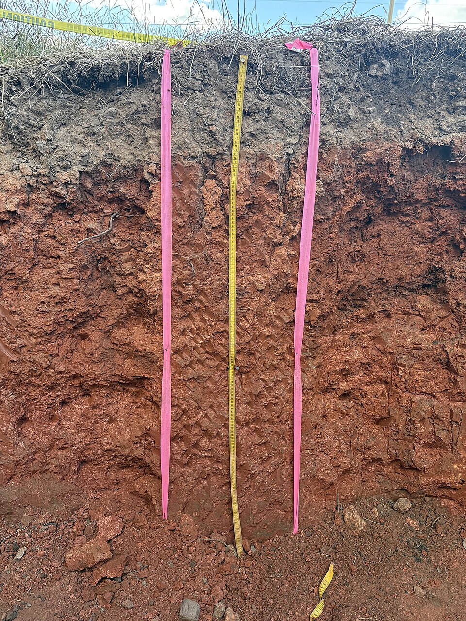
- Wikimedia Commons: Soil Profile Containing an Argillic Horizon.jpg, by Cjrufe (CC0), https://commons.wikimedia.org/wiki/File:Soil_Profile_Containing_an_Argillic_Horizon.jpg