Stormwater and Sea Level Rise Adaptation
Summary
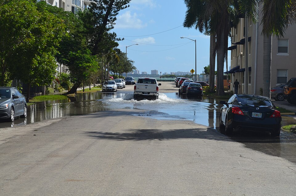
Sea level rise raises tide and storm surge heights and makes moderate coastal flooding far more frequent. NOAA's regional projections give design horizons by decade, so drainage outfalls, floor elevations, and site grading can be checked against future water levels.
Cols
Scope
- Headline projection: about 10 to 12 in. of rise along US coastlines by 2050, roughly what was measured in the last 100 years
- Longer term: about 2 ft of rise between 2020 and 2100 is increasingly likely
- Regional variation: East and Gulf coasts expected to see more than West and Hawaiian coasts, mostly from land height changes
- Flood frequency: moderate flooding is expected to occur more than 10 times as often by 2050
Selection
- Planning horizon: NOAA gives projections for every decade to 2050, then every 50 years to 2150
- Extreme water levels: the report also covers tide, wind, and storm-driven extreme water levels
- Tools: the NASA interagency sea level rise scenario tool shows global, regional, and local scenarios; NOAA's Sea Level Rise Viewer maps them
Coordination
- Outfalls and drainage: test gravity outfalls and drains against future tide levels
- Mapped flood zones: current maps do not include future sea level; design above the mapped elevation where the project life warrants
Sources
- NOAA: 2022 Sea Level Rise Technical Report, https://oceanservice.noaa.gov/hazards/sealevelrise/sealevelrise-tech-report.html
- Wikimedia Commons: Edgewater 23 street tidal flooding October 17 2016 morning high tide 12.jpg, by B137 (CC0), https://commons.wikimedia.org/wiki/File:Edgewater_23_street_tidal_flooding_October_17_2016_morning_high_tide_12.jpg