Hot-Dry Climates
Summary
Hot-dry climates receive under 20 in. of annual precipitation and stay above 45 F in every monthly mean, covering the dry (B) parts of the warm IECC zones such as Phoenix and Las Vegas. Solar gain, dust, and wide diurnal swings dominate, so shading, thermal mass, and night or evaporative cooling are the primary tools.
Cols
Definition
- Building America criteria: under 20 in. annual precipitation and monthly mean outdoor temperatures above 45 F all year
- Maps to the dry (B) zones of the warm and hot range, 0B through 3B; representative cities are Phoenix, AZ (1B) and Las Vegas, NV (2B)
- Mixed-dry (IECC 4B, for example Albuquerque, NM) shares the dryness but has winters below 45 F; see Mixed Climates
Design implications
- Shading and mass: slow daytime heating with shading and thermal mass
- Night cooling: cool rapidly in the evening with cross ventilation or wind towers
- Evaporative cooling: effective where the gap between dry-bulb and wet-bulb temperature is large; suits homes with modest cooling loads where water is available
- Thermal mass: traditional desert construction uses high mass to reduce the daily temperature range inside
- Landscape: use shade planting and water-wise species; see Landscaping and Planting
Example locations
Zones are from ANSI/ASHRAE Standard 169-2020, Addendum a (October 29, 2021), Tables A-3 to A-6.
- North America: Phoenix, AZ (1B); Las Vegas, NV (2B)
- South America: Lima, Peru (2B)
- Africa: Cairo, Egypt (2B); Khartoum, Sudan (0B); Sabha, Libya (1B)
- Asia: Dubai, UAE (0B); Riyadh, Saudi Arabia (1B); Baghdad, Iraq (1B); New Delhi, India (1B)
- Oceania: Alice Springs, Australia (2B); Coober Pedy, Australia (2B)
- Europe: Almeria, Spain (3B); Murcia, Spain (3B); Athens, Greece (3B, Hellinikon station)
Flora and fauna
- Sonoran Desert: saguaro (wild only in the Sonoran), creosote bush and bur sage on valley floors, palo verde and velvet mesquite on slopes
- Great Basin: bristlecone pine
- Wildlife: Gila monster, western diamondback rattlesnake, bobcat, mule deer, jackrabbit, burrowing owl, greater roadrunner
- Climate data: lower-elevation Sonoran areas often receive under 3.5 in. of rain per year; one station (Sundad, AZ) shows 1991 to 2020 normal precipitation of 5.64 in., a record high of 120.6 F, and a record low of 18.1 F
Sources
- Wikipedia: Desert climate, https://en.wikipedia.org/wiki/Desert_climate
- U.S. Department of Energy: Climate zones, https://www.energy.gov/eere/buildings/climate-zones
- ASHRAE: ANSI/ASHRAE Addendum a to Standard 169-2020, Climatic Data for Building Design Standards (October 29, 2021), Tables A-3 to A-6
- Southwest Energy Efficiency Project for Building America: evaporative cooling systems, https://builditsolar.com/Projects/Cooling/Evaporative_Cooling_Systems.pdf
- U.S. Department of Energy (archived): Building America best practices, hot-dry and mixed-dry climates, https://webarchive.library.unt.edu/eot2008/20080916174553/http:/www.eere.energy.gov/buildings/building_america/bp_hot-dry_mixed-dry.html
- Wikipedia: Sonoran Desert, https://en.wikipedia.org/wiki/Sonoran_Desert
- Wikipedia: North American Deserts, https://en.wikipedia.org/wiki/North_American_Deserts
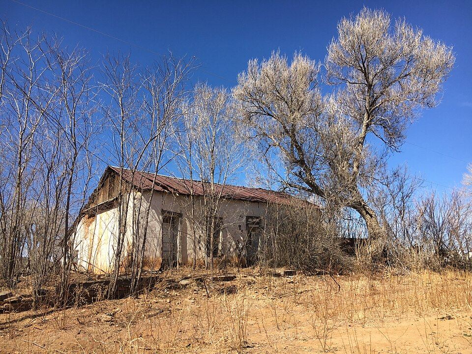
- Wikimedia Commons: An old adobe house along the Santa Fe Trail in Tiptonville, NM (ec5cc3f987b34c60b9175be9c4a2d17e).JPG, by National Trails Office (US National Park Service) (Public domain), https://commons.wikimedia.org/wiki/File:An_old_adobe_house_along_the_Santa_Fe_Trail_in_Tiptonville,_NM_(ec5cc3f987b34c60b9175be9c4a2d17e).JPG